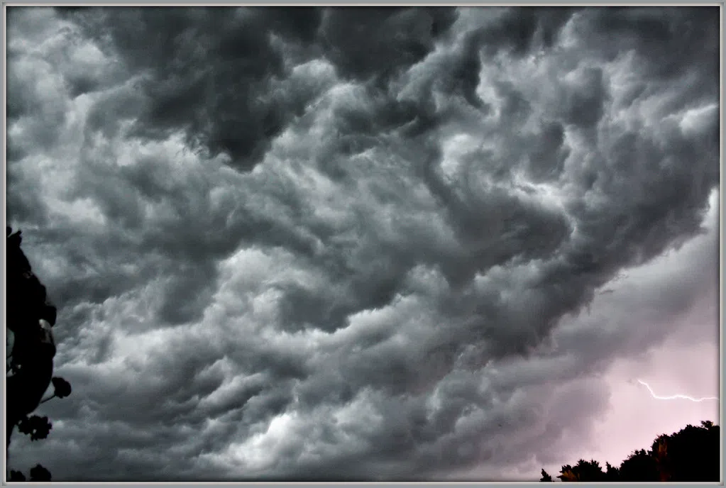
SIOUX FALLS, S.D. (KELO.com) — Though a threat of severe storms Friday morning in the Sioux Falls area has diminished, the National Weather Service says there’s a chance of severe thunderstorms, hail and possibly a tornado Friday afternoon.
However, it should be stressed that a severe storm threat remains for this afternoon and early evening across the area, especially from around I-29 and east. Large hail, damaging wind, and even a tornado will be possible.
— NWS Sioux Falls (@NWSSiouxFalls) August 20, 2021
The updated Hazardous Weather Outlook for much of the region:
“Thunderstorms are possible Friday into Friday night. Some storms may become strong to severe. All modes of severe weather are possible along with heavy rain.”
A system moving into the area around daybreak Friday could still bring small hail and gusty winds, according to the NWS.
Stay tuned to KELO Radio for the latest on our possibly stormy weather.


